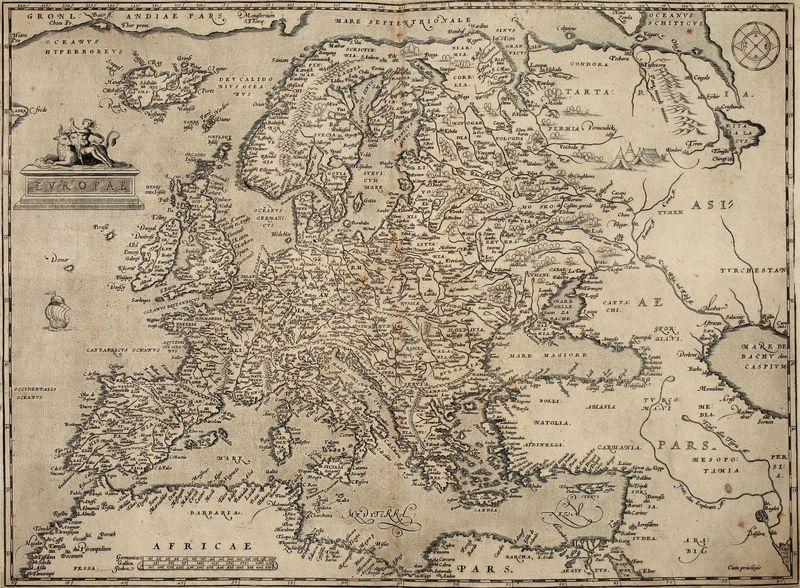
The scientific foundations of cartography can be traced back to ancient Greece.
Its scholars tried to accurately represent the shape of the Earth, to calculate its size and make detailed and exact maps, for the first time allowing for its spherical shape. At the turn of the 2nd c. BC the Alexandrian scholar Eratosthenes of Cyrene measured the Earth producing a result approximate to reality. Ca 300 BC Dicaearchus of Messana, a disciple of Aristotle, used a grid of meridians and parallels on his map whereas the greatest ancient astronomer, Hipparch of Nice (2nd c. BC), defined the relations between geographical and astronomical co-ordinates, and worked out the azimuthal, stereographic and conical methods of projection applied in cartography.
The distinguished Alexandrian astronomer, mathematician and geographer Claudius Ptolemaeus (known as Ptolemy – 2nd c. AD) published a compilation of the findings of ancient-world astronomers, geographers and cartographers in his voluminous Megale syntaxis (known by its shortened Arabic title, Almagest). In his equally famous Geographia, reputedly the highest achievement of ancient cartography, Ptolemy included theoretical foundations for map-making based on mathematical calculations and astronomical observations. The work also included a list of ca 8000 names of geographical locations, most of them with corresponding coordinates, to be used in map-making. Ptolemy also attached 27 maps making up a cartographical representation of the world.
The Greeks tried to present a faithful and detailed description of all the areas known to them (the entire world). Such attempts were made by Hecataeus of Miletus, Herodotus, Polibius, and Strabo the author of the voluminous Geographica, the prototype of contemporary geography school textbooks. The Romans followed the Greeks leaving many descriptions of the world as they knew it or parts of it, for example those written by Pliny the Elder (d. 79 AD) and Pomponius Mela (1st c. AD).
In the Middle Ages the many constraints on travelling curbed the development of cartography. Very few detailed maps existed of smaller regions with only some vague outlines of Europe, Africa and Asia separated from each other by the Mediterranean Sea and the Nile. Early cosmographic descriptions included mythological elements which later gradually disappeared as a consequence of a better knowledge gained from journeys, pilgrimages and crusades. The Travels of Marco Polo (1254–1324) was an excellent source. There were also other helpful, reliable descriptions of the world mostly written by Islamic merchants and geographers, the most famous being A Gift to Those Who Contemplate the Wonders of Cities and the Marvels of Travelling (also known as the Rihla) written by the Muslim scholar and traveller Ibn Battuta (1302–77). The greatest achievement of Arabic cartographers, however, was Tabula Rogeriana, the most advanced ancient world map created for Roger II of Sicily by Muhammad al-Idrisi (1100–66).
It was not until the 14th c., however, when the compass (determining direction relative to the Earths magnetic poles) came into common use in seafaring, that nautical charts appeared in some countries. The Renaissance period saw the revival of long-forgotten works by Ptolemy, so cartography was revived and moved on. Moreover, the travels of Christopher Columbus and Ferdinand Magellan wholly changed conceptions of the size and shape of the Earth. These developments opened up entirely new horizons for cartographers with new descriptions of the world (cosmographies). Two worth mentioning were the one by Gerardus Mercator (1569) and another by Abraham Ortelius (1570).
 English (United Kingdom)
  Polski (PL)


